Topographic
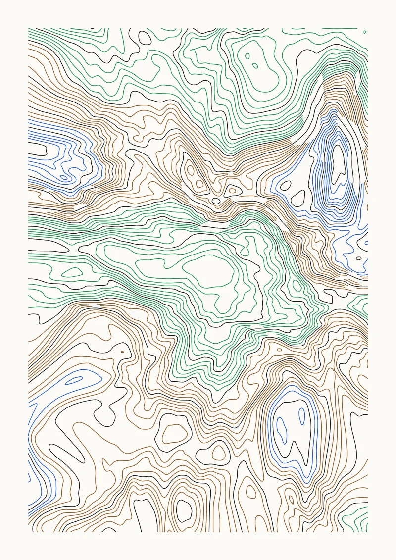
Contour map of a domain-warped fractal landscape, with index contours on a second pen.
Pens
Elevation bands share the colors. Index contours stay on the first pen. Starts with 4 pens and works with anywhere from 1 to 8.
Settings
Relief, Feature size (mm), Octaves, Roughness, Warp amount, Peakiness, Island falloff, Sea level, Terracing, Terraces, Levels, Index every, Double-stroke index lines, Min spacing (mm), Smoothing, Min loop length (mm), Grid resolution (mm).
The preview uses the default settings on A4. Press R in the app for random variations. The SVG export is in millimetres with one Inkscape layer per pen, so it works with the AxiDraw extension, vpype and saxi.